


If you’re looking for a provider of high-accuracy, globally consistent ground control points, look no further than CompassData. With more than 36,000 photo-identifiable ground control points in its archive, CompassData can create a new GIS dataset from scratch or help you ensure the accuracy of your current one. Their team of experts can collect ground control for remediating imagery and enhancing the capabilities of your existing CAD system. Moreover, their expertise spans oil and gas pad inventory, compliance surveys, and web map hosting.
CompassData is a global provider of high-accuracy, globally consistent ground control points.
CompassData Inc. provides geospatial data sets and photo-ID ground control points. Its archive includes more than 60,000 photo-identifiable GCPs, which it delivers to clients along with metadata, ground photo, survey equipment, station diagram, and more. In addition, CompassData performs custom ground control collection and guarantees the quality of the points in two to three weeks. It supports aviation mapping projects and has over 450 airports in its archive.
LiDAR data
CompassData’s GCPs are widely used in orthorectification and correction of imagery and LiDAR data. Satellite operators use CompassData GCPs to calibrate their sensors. Its GCPs are routinely provided to clients by a team of professional “Control Freaks” and more than thirty certified mapping partners in Asia and Europe.
The accuracy of a map depends on the quality of ground control points. High-accuracy GCPs are essential for accurate cartographic products. Poor weather conditions make mapping challenging. Aerial photography companies purchase ground control points for their projects and archive them for use in the mapping process. The cost is a fraction of the cost of mobilizing aerial photography aircraft.
Provide an accurate georeferenced product
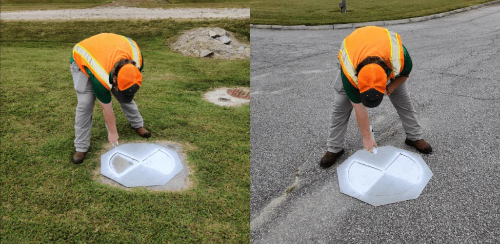
The primary purpose of GCPs is to provide an accurate georeferenced product. GCPs are used to overcome imperfect sensors, thereby establishing a perfectly georeferenced product. But collecting accurate and consistent GCPs requires expertise and experience. Certified surveying experts use professional-grade GPS receivers. The company’s personnel should follow standardized procedures to ensure data quality.
GPS receivers use pseudo-random codes to calculate distances from satellites. These satellites are highly accurate and can measure precise distances. However, satellite orbits are complicated due to gravitational attraction. The GPS Control Segment monitors satellite positions at all times to correct these errors. This data is then collected in ephemerides, which are broadcast with each satellite’s signal.
Using photo-identifiable ground control points
CompassData is a ground control points survey (GCPs) provider for geospatial data. They provide geospatial data sets and calibration for SAR and photogrammetric sensors. Their archive contains more than 60,000 GCPs. They have established an ISO and FAA quality process for collecting ground control points. They are using this standard to ensure consistent quality.
These GCPs are collected at calibration sites, which can be aerial photo/LiDAR or satellite sensors. Aerial sensors typically have small photo-identifiable features that are visible in high-resolution imagery, while satellite sensors generally collect points with a higher spatial resolution. These data can be used for image orthorectification or photogrammetric quality control projects.
Customers can request an entire GCP archive from CompassData. GCPs are categorized by type, and customers can request individual or groups of GCPs. Pricing is based on the number of resources needed to establish various sets of GCPs. Compass customers often find it cheaper to acquire GCPs from a GCP archive. The cost of GCPs depends on the number of points and their requirements.
More Stories
Playing Chess Against A Computer Vs Playing Chess Against Humans
The Information Technology Era
The Main Functions of Computer Memory